Infrastructure monitoring, elevated
Detect and prevent energy leaks, utility line strikes, and environmental hazards with high accuracy.
It's been two weeks since your last aerial patrol - that's a significant operational blind spot. Keep scrolling to see how high-frequency satellite monitoring closes the gap.

Enter the Aerospace Patrol Manager's world
Satellites cover all your assets multiple times per week: 10–20x more frequently than aerial alone
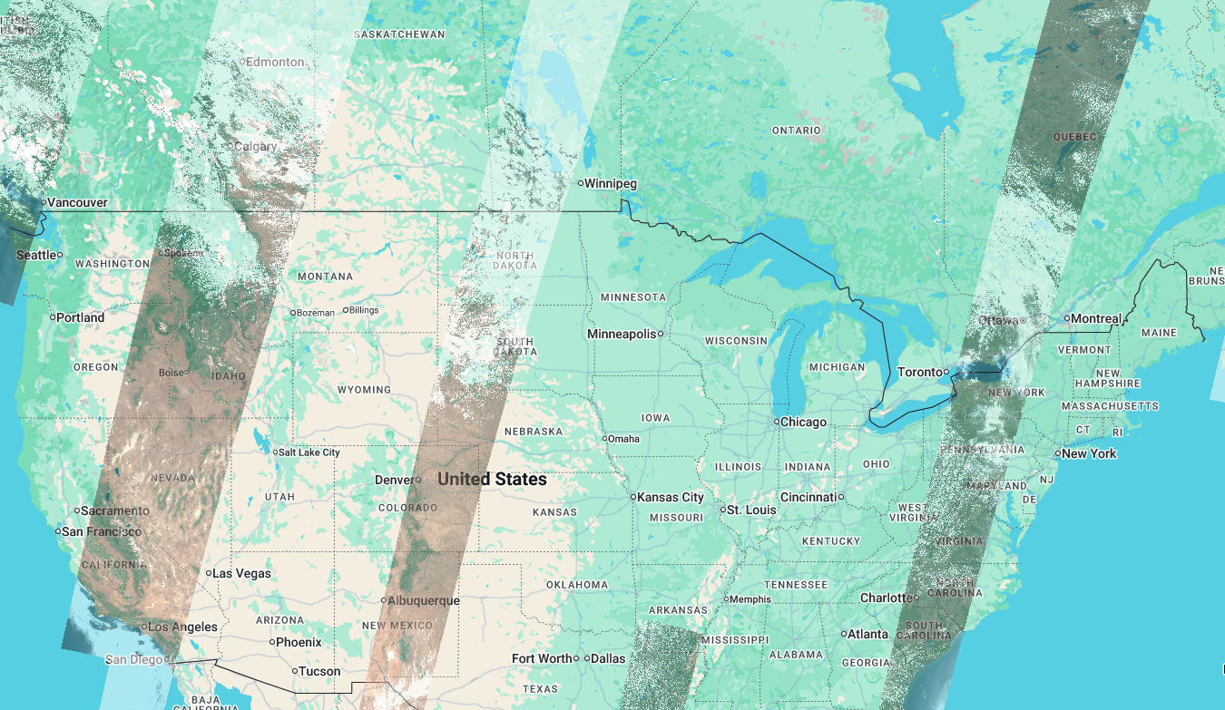 Day 1
Day 1
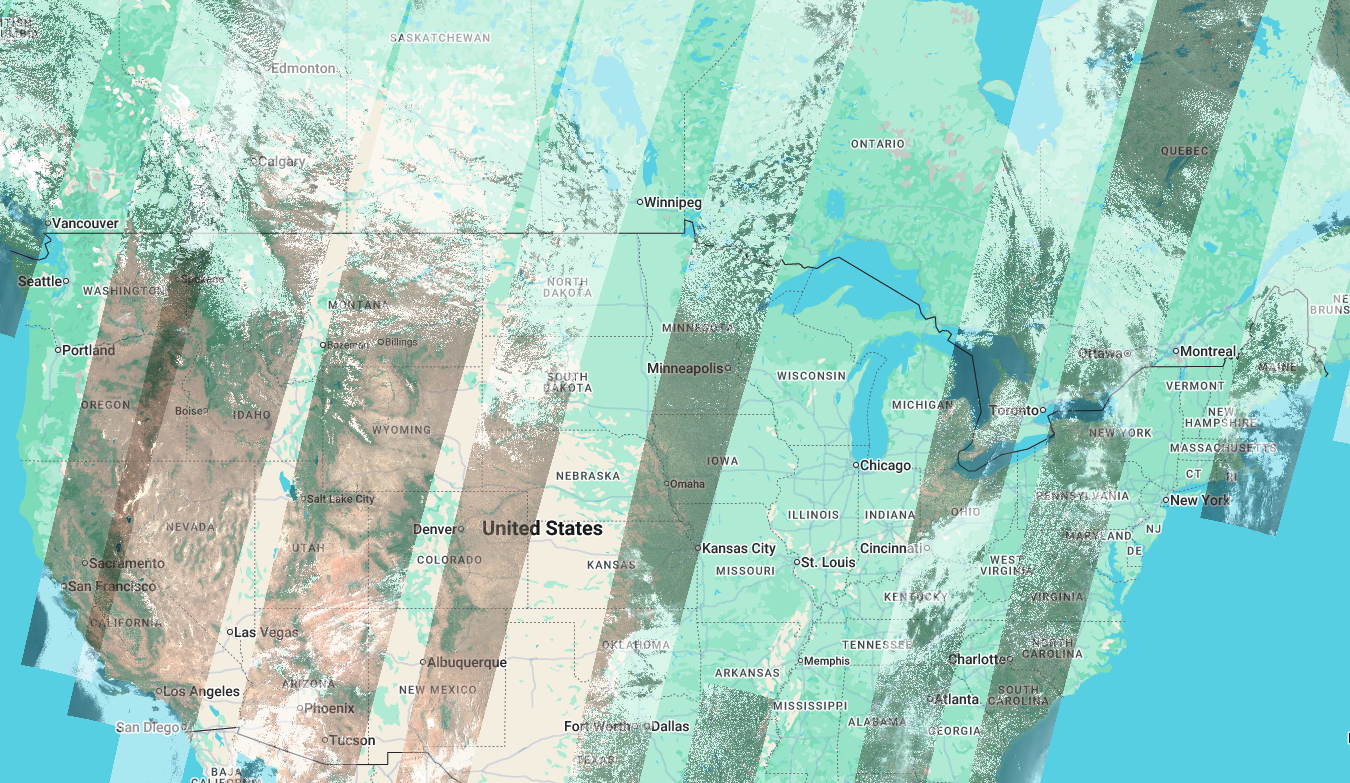 Day 2
Day 2
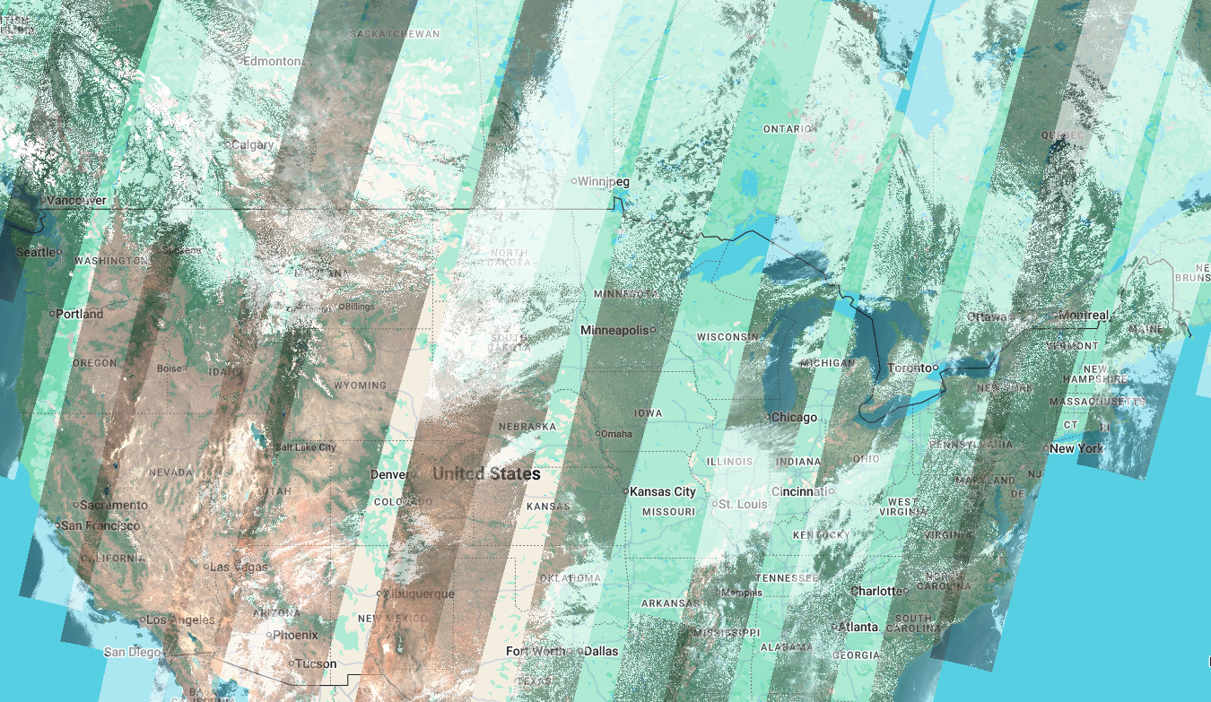 Day 3
Day 3
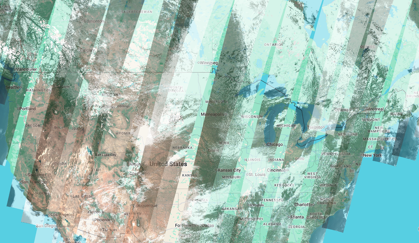 Day 4
Day 4
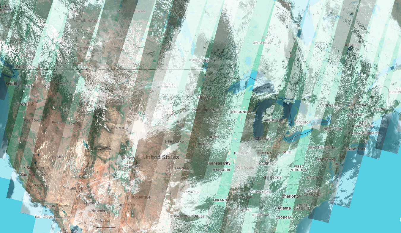 Day 5
Day 5
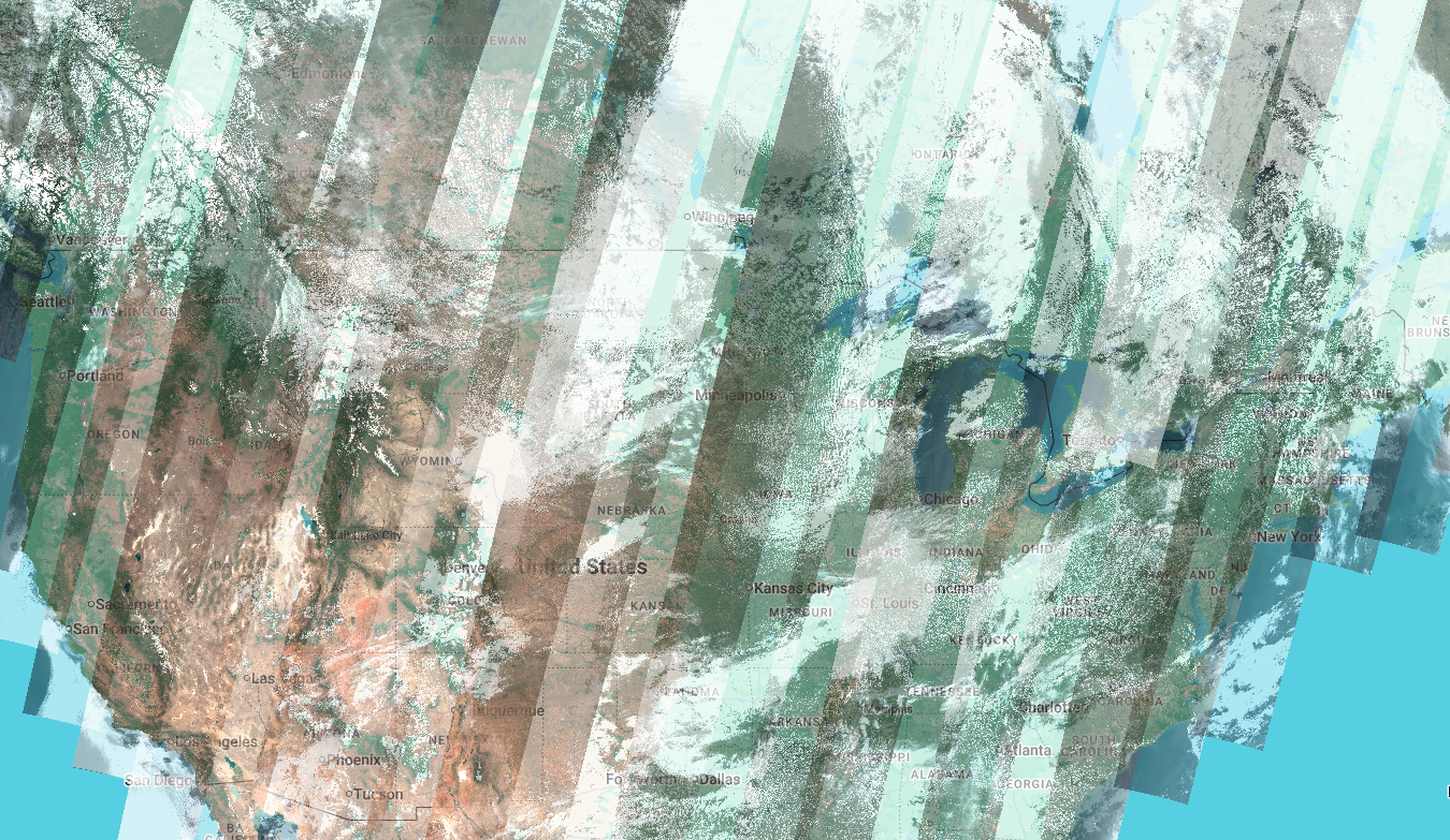 Day 6
Day 6
Revisit everything, every 2–3 days
Pipeline Operations Manager, Permian Basin
Threat detection keeps you ahead of incidents, and leak detection covers the rare cases
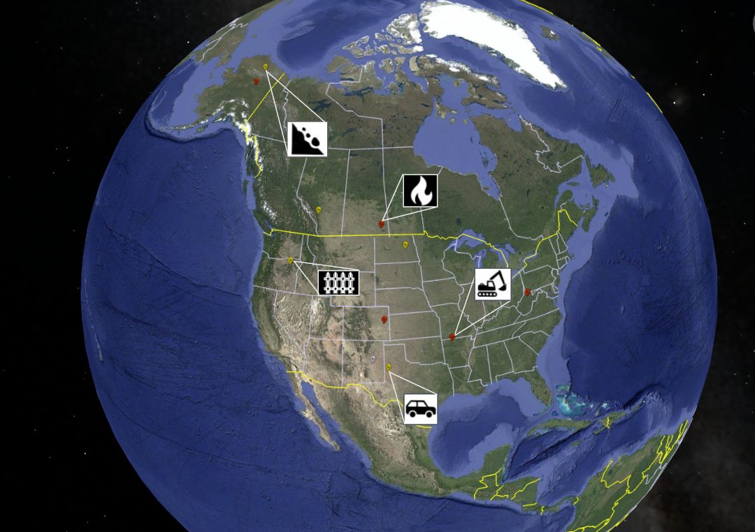
Aerial Patrol Manager & GIS Specialist
Report in your native platform, enabling your existing workflows
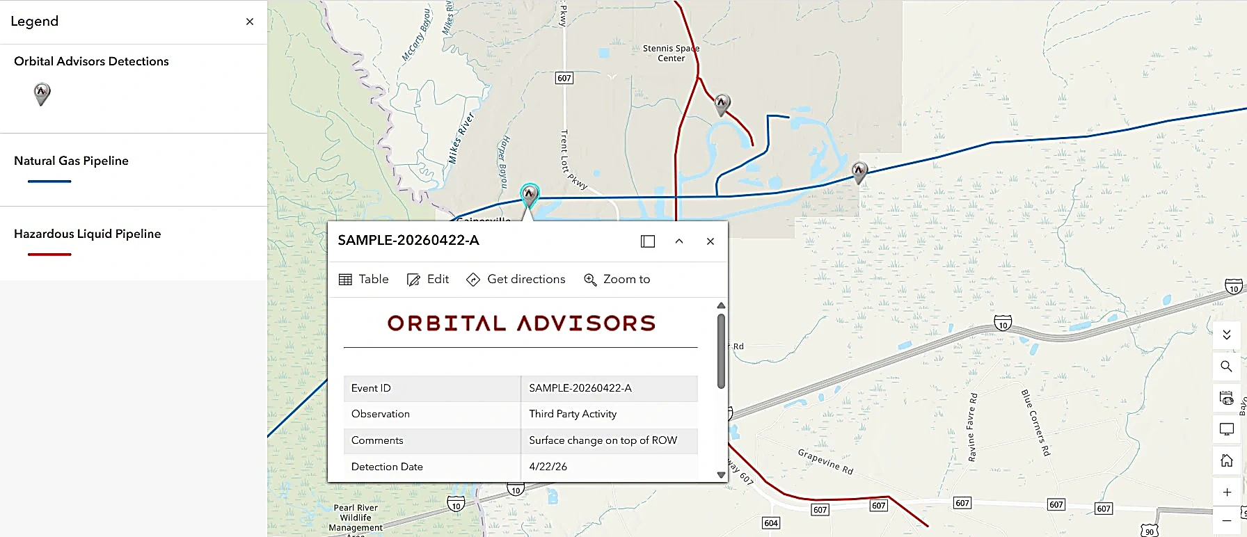
Detection results delivered directly through ArcGIS and other platforms
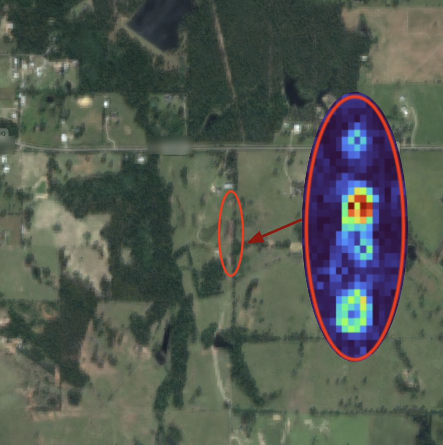
Digging without valid One-Call ticket
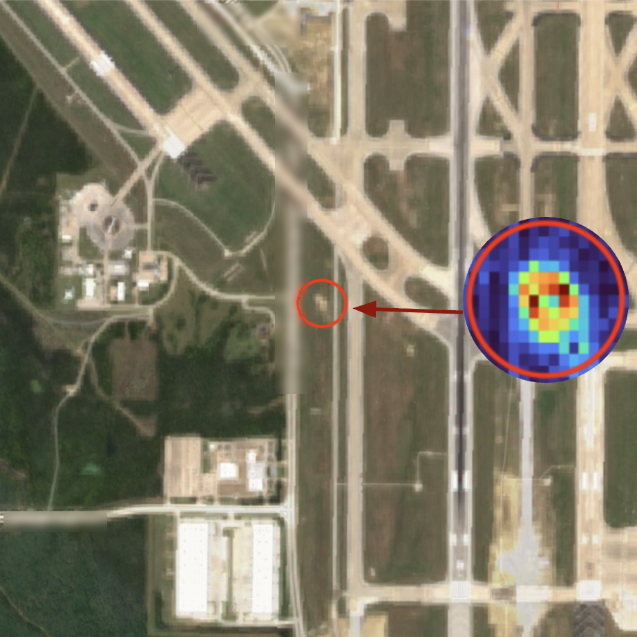
Construction in restricted airspace inside the airport fence line
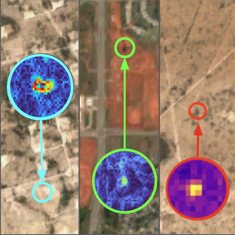
Refined products, crude, and gas leaks
Damage Prevention Manager
Better insight, faster action, lower risks - all within your existing compliance budget.
Isn’t it about time?

Fixed-wing aerial & truck patrol
Long wait between passes


Satellite, drone, & truck dispatched precisely
No grounding, no scheduling gaps
The same budget
Minimize your cost and maximize your coverage with Orbital Advisors satellite monitoring.
Get started
Discover how it works over your assets
We'll run a satellite pass over your pipeline or infrastructure. No commitment. You get a full report, anomaly detection, surface change data, and product detection results within 1–3 days.
The value for you
-
1
Asset integrity reportSurface change detection across your ROW. Ground movement, encroachments, and environmental hazards flagged with precise coordinates.
-
2
Product detection scanSatellite-based spectral analysis of your pipeline corridor for natural gas, crude, and refined product anomalies.
-
3
Compliance baselineA timestamped data package formatted for PHMSA reporting, demonstrating monitoring frequency above minimum requirements.
Start the conversation
Partnered with




Frequently Asked Questions
Common questions
What is a research class satellite?
A research class satellite is a spacecraft designed specifically to conduct scientific experiments, test new technologies, or gather targeted atmospheric and environmental data rather than provide routine commercial services. In contrast, operational class satellites provide continuous, long-term commercial services like telecommunications, navigation, and weather tracking.
What is SAR?
Synthetic Aperture Radar (SAR) is an active remote sensing technology that emits microwave radio signals to create high-resolution imagery of the Earth's surface.
How many satellites are in a constellation?
A satellite constellation can contain anywhere from two to thousands of coordinated satellites, depending on the mission's scope. Small constellations focus on targeted, periodic imaging, while mega-constellations deploy hundreds or thousands of satellites for continuous global coverage.